
Civil Engineering
- – Establishment a Global Positioning Services (GPS) network.
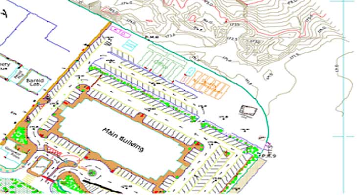
- – AS – Built drawing for road details.
- – Staking out the axis of pipelines route.
- – 2D survey AS-Built drawing for process pipelines and concession.
- – Cadastral & Topographic survey map.
- – Grid leveling.
- – Setting out and As-Built map for water & drainage lines and Road.
- – Calculation of volume of cut & fill.
- – Flattening & preparing of land.
- – Ordinary & precise leveling.
- – ELongitudinal & cross sections leveling.
- – Engineering’s supply.